 |

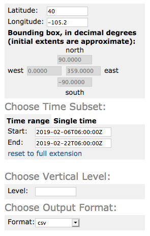
Select the fields you are interested in. Note: the subset service will only work with fields that are on the same vertical coordinate system. If you choose fields that have multiple vertical levels then specify the level you'd like to use.

At the bottom of the page copy the generated URL:

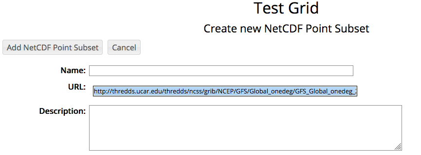
Now, back in RAMADDA create a NetCDF Point Subset Type entry type. All you need to do is paste the URL into the URL field:

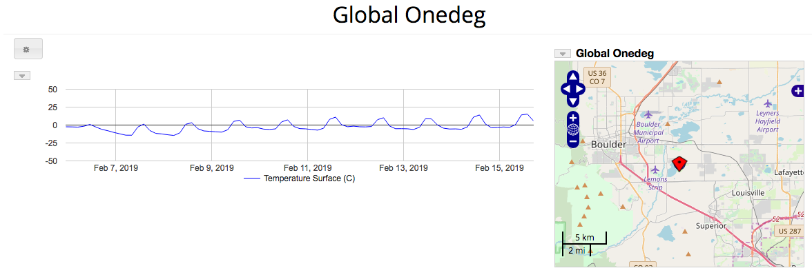
Some of the field values will be automatically converted to different units. For example, Kelvin is converted to Celisus, Pascals are converted to Hectopascals.
The display shows the point subset at the specified lat/lon. The map is clickable, new data for the given lat/lon will be displayed.
